

***Not All Sales Available Online***

C-Map MAX-N+ Reveal Coastal Charts Cruising, fishing or sailing, C-MAP REVEAL Coastal charts offer the very best of C-MAP. With Shaded Relief, including game-changing Reveal Seafloor Imagery, Aerial Photography, Satellite Overlay and Dynamic Raster Chart presentation added to the core C-MAP features found in DISCOVER -- full-featured Vector Charts, with Custom Depth Shading, Tides & Currents and subscription-free Easy Routing. It also includes the very best of C-MAP High-Res Bathy, including integrated Genesis data. Purchase includes a full 12 months of free online updates.
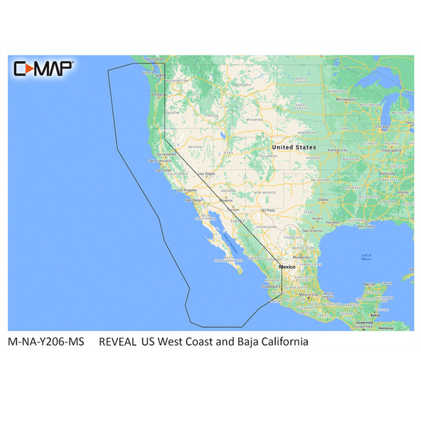
CMAP MNAY206MS Features & Benefits
•Shaded Relief, bring the world around you to life, with 3D rendered land and underwater elevation-including areas of Ultra-High-Res Bathy seafloor imagery
•High-Res Bathy, helps you identify shallow areas, drop-offs, ledges, holes or humps; Now includes compiled and quality-controlled Genesis detail as part of singular HRB layer
•Full Featured Vector Charts, making navigation easy by giving you accurate, up-to-date vector chart detail derive from official Hydrographic Office information
•Custom Depth Shading: set a clear safety depth, maintain a paper-like view or create your own custom shading and Dynamic Raster Charts-providing the traditional chart look and feel
•Easy Routing, helps you automatically plot the shortest, safest route based on detailed chart data and your personalized vessel information. No subscription required
•Tides & Currents, shows projections of water level and direction of tides; Satellite Overlay -satellite imagery gives information about the surroundings
•Detailed Marina Port Plans, docking in an unfamiliar port is no problem when you have precise layouts of thousands of marinas, including slip spaces, restricted areas and other navigation information
•Harbor & Approach Details, unprecedented level of detail. Approach any harbor and inlet with confidence. The perfect conclusion to a long voyage, sailing adventure or an exciting day of fishing
•Aerial Photography -a collection of thousands of photos of marinas, harbors, inlets and other notable navigational features included to offer an additional level of detail
•For Lowrance, Simrad, and B&G units only; Online Updates -keep your chart up to date, with 12 months free online updates


1900 SE McLoughlin Blvd 97045
503-557-3313
1120 N Hayden Meadows Dr 97217
503-283-0044
10355 SW Cascade Ave 97223
503-549-5066
Mon-Sat: 9:00 AM - 7:00 PM
Sun: 9:00 AM - 6:00 PM
© 2024, Fisherman's Marine & Outdoor All Rights Reserved