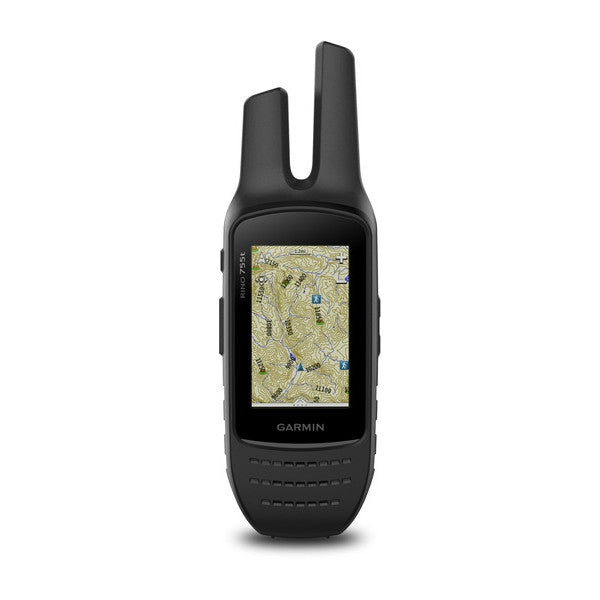
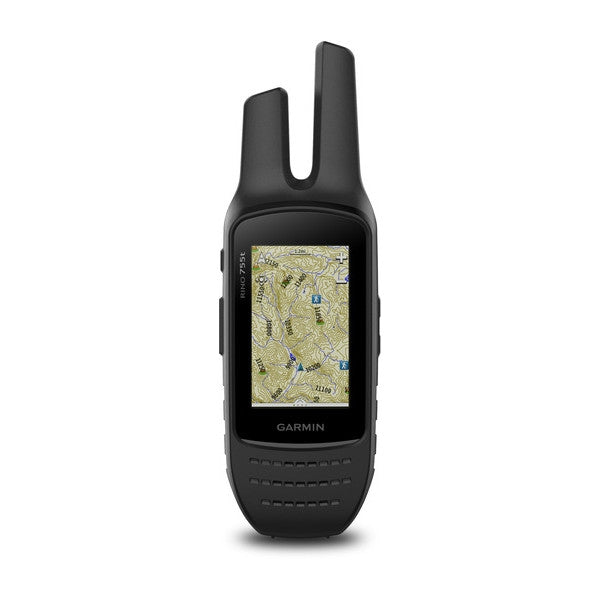
Combining map-guided trail navigation with two-way radio communication, the Rino 755t Handheld brings a whole new level of confidence to your outdoor adventures. It features a powerful 5W FRS/GMRS radio, dual GPS and GLONASS satellite reception, active weather updates, emergency alerts with position reporting, Bluetooth® headset audio, 3-axis compass, barometric altimeter and more.
The Garmin Rino 755t also features a unique position reporting capability that lets you send your exact location to other Rino users so they can see it on their map displays.
- Physical Dimensions: 2.6” x 7.9” x 1.6” (6.6 x 20.1 x 4.1 cm)
- Display WxH: 1.53” x 2.55” (3.8 x 6.4 cm); 3.0" diag (7.6 cm)
- Display Resolution WxH: 240 x 400 pixels
- Display Type: Sunlight-readable touchscreen 3.0" transflective, 65K color TFT
- Weight : 12.3 oz (348 g) with battery pack
- Battery: Rechargeable lithium-ion battery pack (removable)OR AA battery pack (not included)
- Battery life up to 14 hours (up to 18 hours with optional AA battery pack at 2 watts)
- Water Rating: IPX7
- High-sensitivity receiver
- Interface: High-speed USB and NMEA 0183 compatible
- Barometric altimeter
- Electronic compass (tilt-compensated 3-axis)
- Transmit Power: 0.5 watts FRS, 5.0 watts, GMRS (US)
- Basemap
- Ability to add maps
- Built-in memory 4.5 GB
- Accepts data cards microSD™ card (not included)
- Waypoints/favorites/locations: 10,000
- Routes: 250
- Camera: 8 megapixel with autofocus; 4x digital zoom; automatic geo-tagging
- Picture viewer
- Track Log: 20,000 points, 200 saved tracks
- Automatic routing (turn by turn routing on roads)
- Geocaching-friendly
- Hunt/fish calendar
- Sun and moon information
- Area calculation
- Frequency Band: FRS and GMRS
- Channels: 22
- Squelch Codes: 38 (CTCSS); 83 (DCS)
- Range: Up to 2 miles over FRS; up to 20 miles over GMRS (US)
- VOX (voice activation)
- Location reporting (send and receive GPS positions)
- Vibration alert
- NOAA weather radio
- Contacts: 50
- Map segments: 15,000
- High-sensitivity, WAAS-enabled GPS receiver with HotFix® and GLONASS support
- Geocaching Live
- Active Weather support
- Bluetooth® ANT+® capable
- Custom Maps compatible
Comes With:
- Rino 755t
- Preloaded TOPO U.S. 100K maps
- 1 year BirdsEye Satellite Imagery subscription*
- Lithium-ion battery pack
- USB cable
- AC charger
- Carabiner clip
- Documentation
*Software download required. Use the included BirdsEye Satellite Imagery subscription with BaseCamp™ to transfer an unlimited amount of high-resolution satellite images to the handheld device for 1-year. Once those images have been integrated into the device they can be accessed whenever you need them — even after the initial 1-year offer has run out. Additional BirdsEye Satellite Imagery subscriptions can be purchased.


